 |
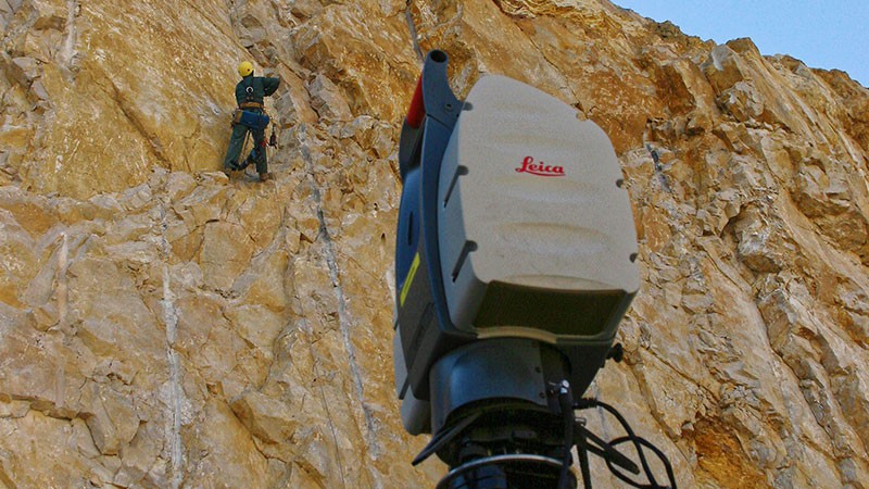
Periodic surveys of quarries for accurate and reliable monitoring. In the same way as for volumetric surveys, the point cloud is a particularly suitable form of data. It can be obtained in different ways depending on the specification :
Regardless of the method used, the result will be a point cloud of high density (one point per 5 to 10 cm for this type of application). Once the point cloud has been combined and georeferenced, the processing becomes identical, whatever the method of survey. Suitable processes are :
|
Contact
Follow us
|
|
ZA Champ du roy. 219 chem. des goules 38670 Chasse-sur-rhône |