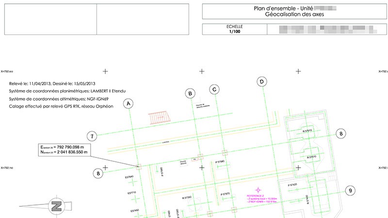
The topographic map shows the existing situation on the ground, and is needed at the outset of your project.
|
Often the first document required, it provides a plan view of the existing situation, and is an essential working basis for design offices, architects and project managers. It can be processed in 2D or 3D, depending on the needs of the project.
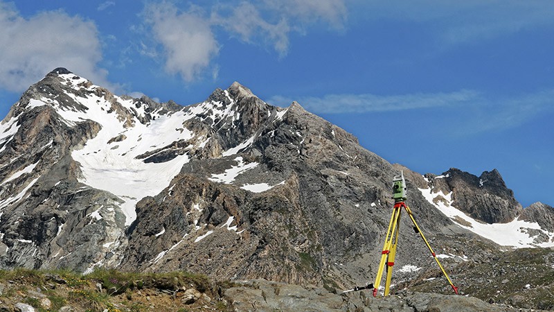
For smaller areas, it is generally based on conventional tacheometric measurements. For larger areas, a variety of technologies can be used, including airborne laser scanning, photogrammetry or LIDAR on board a drone, helicopter or airplane.
LIDAR (Light Detection and Ranging) is a technology that uses a laser beam to measure the distance between a sensor and an object with great precision. It can be used to map 3D terrain, even in complex environments such as forests or dense urban areas.
Whatever the scale or precision required, we implement the solutions best suited to your technical requirements and budgetary constraints.
|
|
|
|
|
Contact
Follow us
|
|
ZA Champ du roy. 219 chem. des goules 38670 Chasse-sur-rhône |