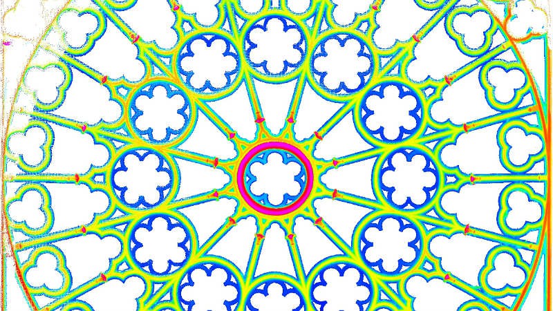
Exhaustive and accurate monitoring … our processes enable flatness to be checked or deformations to be quantified.
|
|
These analyses compare the actual situation (represented by a point cloud from a laser scanner survey) with the theoretical or designed dimensions of the object (generally in the form of a plan or drawing).
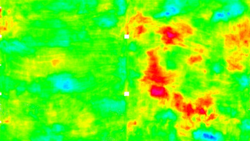
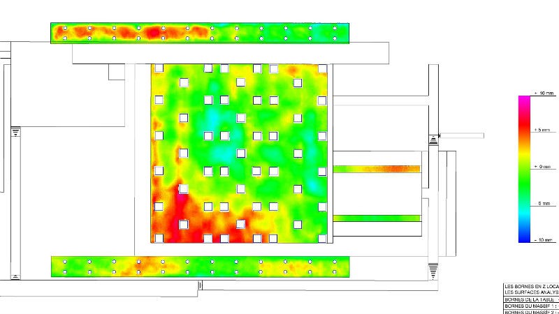
This method is particularly suitable for analysing the flatness of slabs. The very dense scanner survey can provide around 4000 points per m2.
|
|
A software suite (CloudSurfer) developed through our in-house programme of R&D enables us to process the point cloud and extract the maximum of information from it : graphic portrayal of the deformed area and export in standard CAD formats.
The density of information so obtained enables the ridges and hollows (positive and negative departures from the specification) to be viewed simultaneously over the whole area of the slab.
|
|
|
|
The speed of capture, the accuracy and reliability of the data and the potential of the techniques involved are all driving us to develop more new applications in order to exploit all the advantages of this technology for this type of survey.
Based on this research into deformation measurement, we are able to create a virtual version of the traditional check on flatness by means of a 2-metre rule; the algorithm locates all positions of the rule which do not conform to the specification. |
Contact
Follow us
|
|
ZA Champ du roy. 219 chem. des goules 38670 Chasse-sur-rhône |