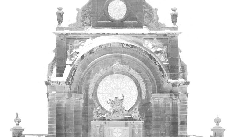
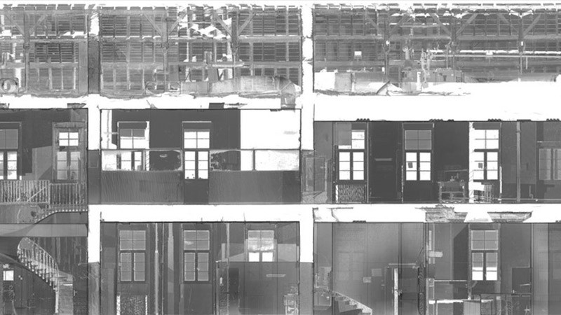
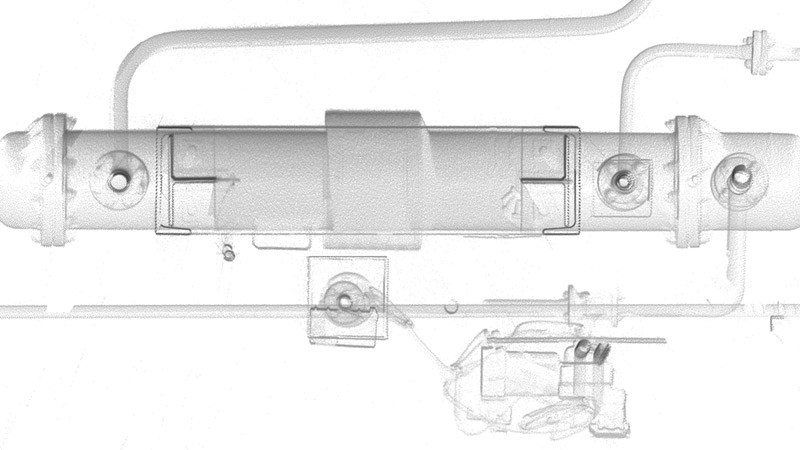
This product uses the point cloud derived from laser scanning or photogrammetry, in the form of a simple orthorectified image.
|
|
This form of ortho-image is created directly from the registered and georeferenced point cloud. Elevations and sections can also be produced rapidly in the simple form of a georeferenced image. |
|
These images can be accessed by your software and will provide the basis for extracting coordinates or for the drawing of components needed for your design. |
|
|
|
Ortho-images derived from point clouds offer several advantages :
|
Contact
Follow us
|
|
ZA Champ du roy. 219 chem. des goules 38670 Chasse-sur-rhône |