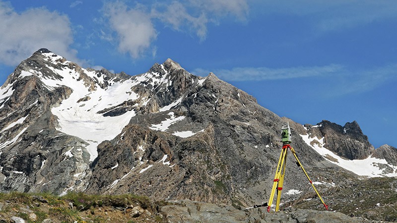
The topographic map shows the existing situation on the ground, and is needed at the outset of your project.
|
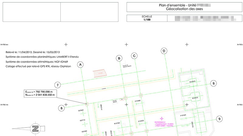
The topographic map (3D) or plan (2D) is often the first document needed to launch a project. Its objective is to portray the existing situation on the ground which provides the setting for your future plans. Processed as an entity in 3D or 2D, it serves as the basis for the work of the engineers and project managers.
Whatever the size of your project or the accuracy required, we will employ optimum procedures corresponding to your technical needs and your budgetary constraints. |
|
|
|
|
Contact
Follow us
|
|
ZA Champ du roy. 219 chem. des goules 38670 Chasse-sur-rhône |