|
|
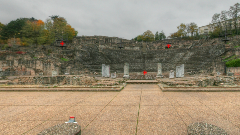
Created from point clouds in conjunction with photographs, 360° panoramic visualisations give an excellent understanding of the existing site as well as a rapid measurement capability.
360° panoramas offer an excellent visualisation of the existing situation, as well as a good understanding of the new design, to everyone involved in the project, including those who have never visited the site.
They can be delivered in the form of QuickTime (.mov) or Adobe Flash (.swf) computer files; these provide useful and practical supplementary documentation for your project.
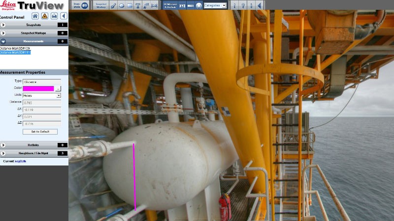
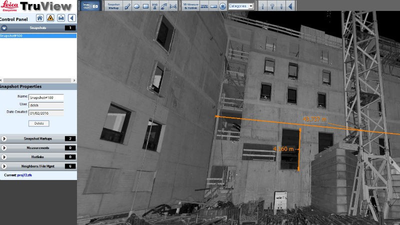
For greater convenience, we can also integrate our visualisations with ZF, Jetstream ou TruView (Leica Geosystems). The panoramas then provide a truly collaborative medium for everybody involved in the project. Coupled with a laser scanner survey, they also allow you to extract coordinates or take measurements in the 360° environment using the same software.
|
|
|
|
Contact
Follow us
|
|
ZA Champ du roy. 219 chem. des goules 38670 Chasse-sur-rhône |