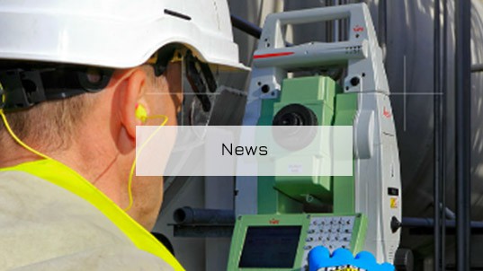
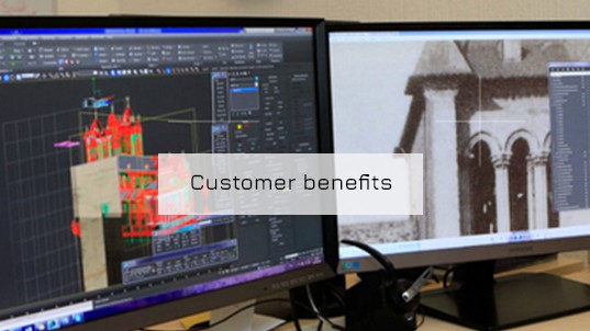
Founded in 2004 and consisting of a team of professionally qualified land survey engineers and technicians, our survey and mapping business specialises in 3D measurement for industry, public works and construction, heritage and architecture.
Our methods of data capture and processing are based chiefly on laser scanning and photogrammetry as well as traditional precise field survey. Thanks to our modern techniques, and using our expertise to the full, we can guarantee the highest reliability in your surveys, your setting out and in your project as a whole. And since our priority is to meet your needs as closely as possible, 6% of our turnover is reinvested in research and development every year. We aim to give you ever greater accuracy!
|
|
|
|
|
|
|
|
|
|
|
Innovation, accuracy, continuous improvement …
to collaborate with our clients in ideal conditions,
our activities are structured around four guiding principles :
FlexibilityBecause a business works for its customers, not for itself ! |
CommitmentBecause constant self-questioning is evidence of quality, not of ignorance ! |
ResponsivenessBecause your time is precious and cannot be extended ! |
InnovationBecause technology is the servant of the idea, not the master ! |
 |
 |